| Россия |
Лекция 13:
Простой обработчик событий
< Лекция 12 || Лекция 13 || Лекция 14 >
Аннотация: В следующей части мы покажем, как при нажатии мышкой на значок увеличивается масштаб карты
Вход из карты в свой аккаунт
Если при загрузке карты параметр signed_in сделать true (src="http://maps.googleapis.com/maps/api/js?key=AIzaSyBhwqeicLVNk2L6M8Mo7EzgupjUvJPher4&signed_in=true"), то из карты можно входить в свой аккаунт Google. При этом в правом верхнем углу карты появится соответствующий значок. Создайте проект geo5.
<!DOCTYPE html>
<html>
  <head>
    <title>Enable sign-in</title>
    <meta name="viewport" content="initial-scale=1.0, user-scalable=no">
    <style>
      html, body, #map-canvas {
        height: 100%;
        margin: 0px;
        padding: 0px
      }
    </style>
    <script src="http://maps.googleapis.com/maps/api/js?key=AIzaSyBhwqeicLVNk2L6M8Mo7EzgupjUvJPher4&signed_in=true"></script>
    <script>
/*
 * This example enables Sign In by loading the Maps API with the signed_in
 * parameter set to true. For example:
 *
 * https://maps.googleapis.com/maps/api/js?signed_in=true&v=3.exp
 *
 */

function initialize() {
  var mapOptions = {
    zoom: 17,
    center: {lat: 54.7375, lng: 55.97666667}
  };
  var map = new google.maps.Map(document.getElementById('map-canvas'),
      mapOptions);
}

google.maps.event.addDomListener(window, 'load', initialize);

    </script>
  </head>
  <body>
    <div id="map-canvas"></div>
  </body>
</html>
Простой обработчик событий
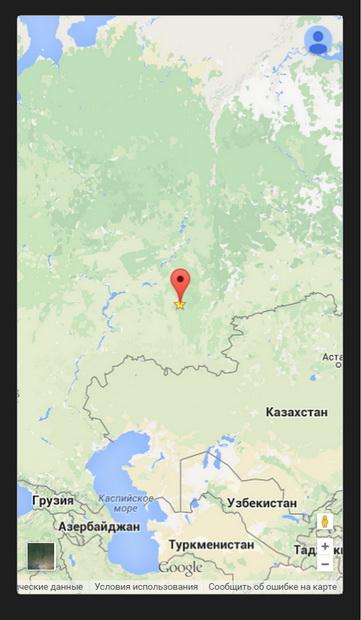
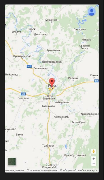
В следующем примере мы покажем, как при нажатии мышкой на значок увеличивается масштаб карты (geo6).
<!DOCTYPE html>
<html>
  <head>
    <title>Simple click event</title>
    <meta name="viewport" content="initial-scale=1.0, user-scalable=no">
    <meta charset="utf-8">
    <style>
      html, body, #map-canvas {
        height: 100%;
        margin: 0px;
        padding: 0px
      }
    </style>
    <script src="http://maps.googleapis.com/maps/api/js?key=AIzaSyBhwqeicLVNk2L6M8Mo7EzgupjUvJPher4&sensor=TRUE"></script>
    <script>
function initialize() {
  var mapOptions = {
    zoom: 4,
    center: new google.maps.LatLng(54.7375, 55.97666667)
  };

  var map = new google.maps.Map(document.getElementById('map-canvas'),
      mapOptions);

  var marker = new google.maps.Marker({
    position: map.getCenter(),
    map: map,
    title: 'Click to zoom'
  });

  google.maps.event.addListener(map, 'center_changed', function() {
    // 3 seconds after the center of the map has changed, pan back to the
    // marker.
    window.setTimeout(function() {
      map.panTo(marker.getPosition());
    }, 3000);
  });

  google.maps.event.addListener(marker, 'click', function() {
    map.setZoom(8);
    map.setCenter(marker.getPosition());
  });
}

google.maps.event.addDomListener(window, 'load', initialize);

    </script>
  </head>
  <body>
    <div id="map-canvas"></div>
  </body>
</html>
Литература
- Веб-службы API Google Карт.
- https://developers.google.com/maps/documentation/webservices/
< Лекция 12 || Лекция 13 || Лекция 14 >


